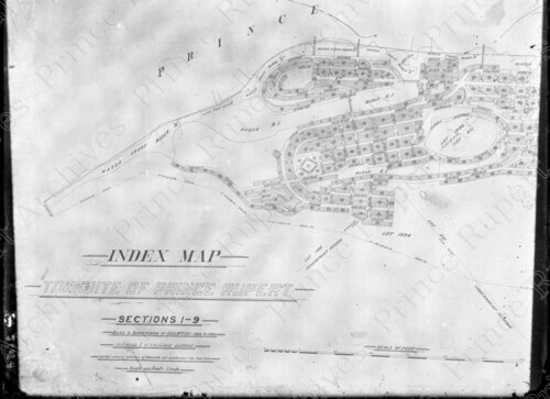
Title: Index Map Townsite of Prince Rupert
This record describes an
item in the
Wrathall Photo Finishing Ltd. fonds.
Date: 1912
Physical Description: 1 glass plate negative : b&w ; 17 x 22 cm
Scope & Content: Item consists of the west side an index map of sections 1 to 9 of Prince Prince Rupert, B.C. The scale of the map is 400 feet to one inch.
Note: Title based on contents of photo.
Name Access:
Wrathall, John (Jack) Richmond
Subject Access:
Maps
Real Estate
Geographic Access:
Prince Rupert, B.C.
Negative Number: JRW2608A
Record ID: 12594
[
New search ]