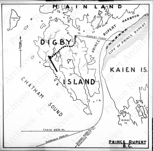
Title: Map of Digby Island and Prince Rupert Harbour
This record describes an
item in the
Wrathall Photo Finishing Ltd. fonds.
Creator: Wrathall, John (Jack) Richmond
Date: [19--]
Physical Description: 1 nitrate negative : b&w ; 7.5 x 7.5 cm
Scope & Content: Item consists of a map of Digby Island and the Prince Rupert Harbour.
Responsibility: John (Jack) Richmond Wrathall
Note: Title based on contents of image.
Name Access:
Wrathall, John (Jack) Richmond
Subject Access:
Maps
Geographic Access:
Prince Rupert, B.C.
Digby Island, B.C.
Negative Number: JRW518
Record ID: 2950
[
New search ]